Project Snapshot
- Project Name: Hot Springs Stewardship Plan for NOC and Silvermine
- Location: Hot Springs, Madison County, NC
- Type: Collaborative stewardship, restoration, and visitor management planning
- Status: Active planning and initial cleanup phase
- Partners: Rebuild Hot Springs Area (RHSA), Town of Hot Springs, Hot Springs Tourism Association, Carolina Mountain Club (CMC), Nantahala Outdoor Center (NOC), Appalachian Trail Conservancy (ATC), U.S. Forest Service (USFS), and MountainTrue (Appalachian Design Center, Riverkeeper, and Debris Clean-up programs)
- Timeline: March 2026 – March 2027
Why This Project Matters
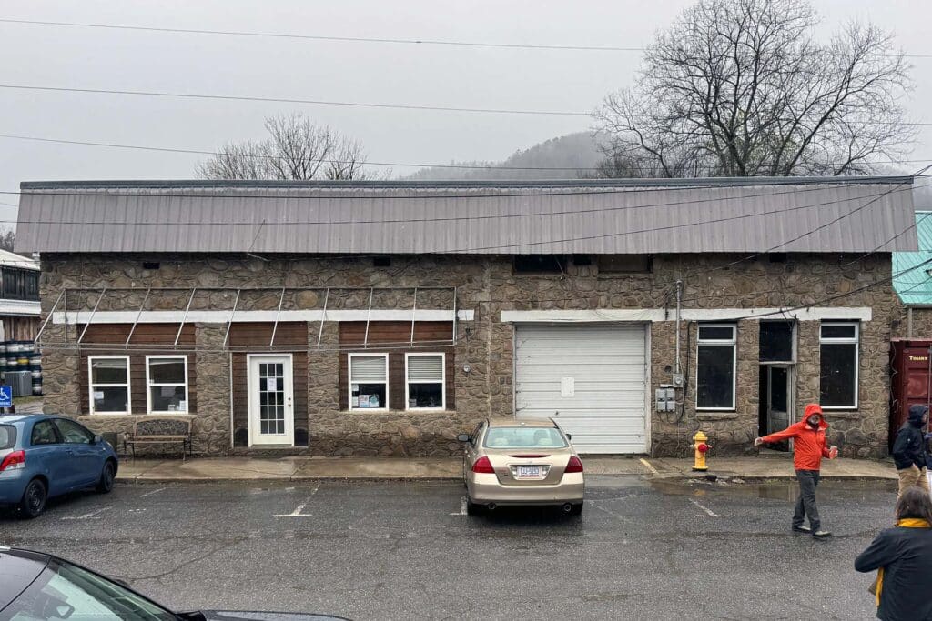
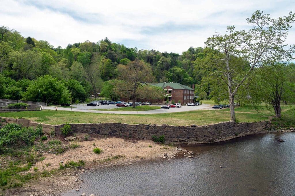
The corridor where the Appalachian Trail (AT), the Nantahala Outdoor Center (NOC) property, and the French Broad River intersect is a high-use gateway for the region. Since Hurricane Helene, the area has faced severe debris accumulation, damaged infrastructure, and ongoing construction impacts that threaten natural resources and community safety. This plan revitalizes a critical recreational asset, ensuring it remains a safe and welcoming destination for hikers, paddlers, and residents.
Community Context
Hot Springs is a dedicated “Trail Town” that takes immense pride in sustainable outdoor recreation. The NOC property provides the only current public put-in for Section 10 of the French Broad River, making this corridor a vital economic and cultural link for the town’s identity. Restoration of this area is central to the community’s post-disaster recovery and long-term tourism resilience.
Project Goals
- Coordinate Cleanup: Launch immediate, phased debris removal and stabilization efforts following storm damage.
- Long-Term Management: Establish a shared stewardship framework among land managers and community partners.
- Clarify Access: Distinguish between trailhead and river-use parking to reduce user conflict.
- Improve Wayfinding: Develop and install new signage and visitor education materials to support better stewardship of shared public and private spaces.
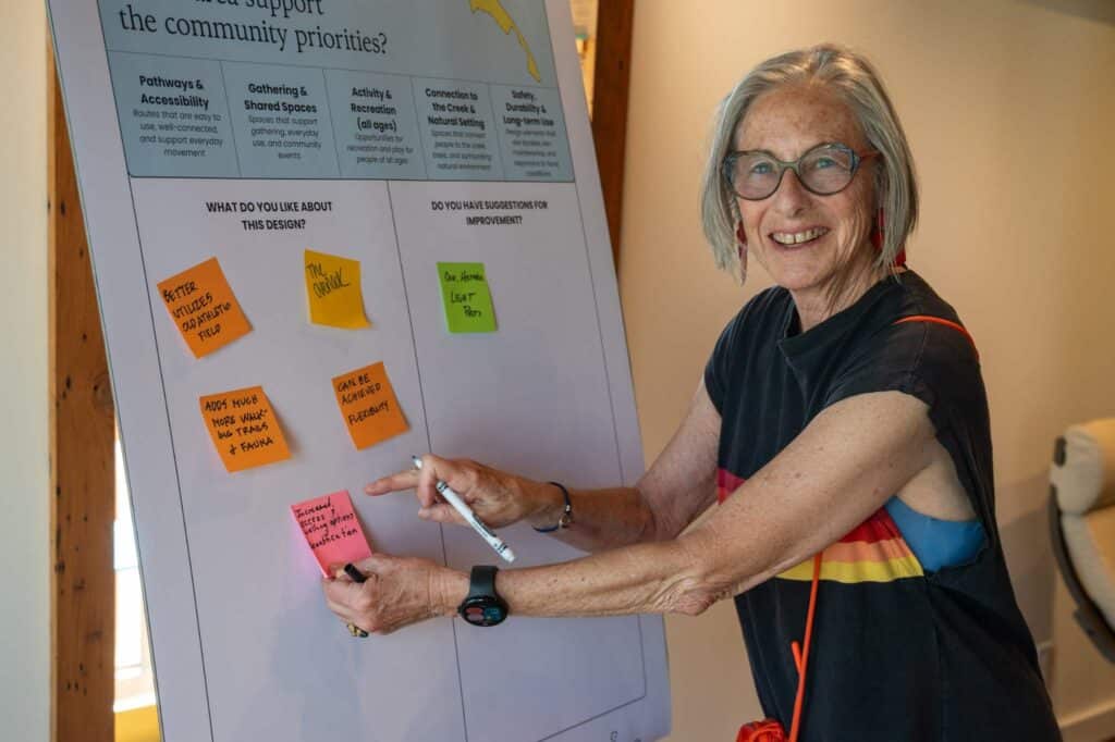
Community Engagement
The project relies on a multi-partner collaboration to leverage local expertise and volunteer capacity.
- Partnership Meetings: Regular coordination sessions (e.g., March 11 and April 15, 2026) involving municipal leaders, state agencies, and nonprofit stewards.
- Site Assessments: Collaborative walkthroughs (March 31, 2026) to document conditions and prioritize workstreams.
- Volunteer Workdays: Public engagement through coordinated cleanup events, including National Trails Day and a July 27 workday with Davidson College.
Design + Approach
The project uses a two-phase technical approach to restore the corridor:
- Phase 1 (Stabilization): Professional crews using heavy equipment (e.g., excavators) for grading and large debris removal, paired with volunteer-led hand-trash pickup.
- Phase 2 (Design & Navigation): Development of a wayfinding system that clarifies the intersection of the AT right-of-way, private NOC property, and river access points.
Progress + Next Steps
- Completed: Initial partnership launch (March 11); site-wide assessment and walkthrough (March 31).
- Current Phase: Finalizing phased timelines and task assignments for heavy debris removal.
- Next Steps: Partner planning meeting (April 15); major community cleanup day (May 1); and National Trails Day volunteer event (June 6).
Credits
- ADC Staff: Julie Judkins (Project Manager).
- MountainTrue Cross Program Support: Jack Henderson (Riverkeeper/Paddle Trail) and Debris Clean-up teams.
- Lead Partners: Rebuild Hot Springs and Nantahala Outdoor Center (NOC).