For seven months, from April 1 to October 31, over 25 volunteers took more than 575 E. coli water samples to ensure the waterways of the French Broad River are safe for swimming. This data was collected from 22 sites throughout the watershed, from Rosman in Transylvania County to Hot Springs in Madison County. Overall, the data shows the French Broad River is in good shape, with 86% of our sites testing safe for recreation use a majority of the time. However, there is still a lot of work to make sure all the sites meet the goals of the Clean Water Act to be fishable and swimmable. We chose testing sites where we people frequently use the river for recreation purposes. While most of our testing sites are on the French Broad River itself, we also collected samples from tributaries, including the Mills and Swannanoa Rivers, and Cane, Hominy and Big Laurel Creeks. Our volunteers test their sites for E. coli once a week and publish the results on the swimguide.org website and the smartphone app. E. coli is a bacteria found in the waste (feces) of warm-blooded animals, including humans and cattle, and high levels of E. coli in our waters can be a risk to human health and the environment.MountainTrue volunteers have been trained to sample, incubate and interpret their results using a standard set by the EPA. Waters with less than 235 colony forming units per 100 mL are safe for recreating, those above are not. Swim Guide uses a simple red-light, green-light system to depict whether a certain swimming hole or access point is safe for swimming or boating. Each sampling site is different and pollution problems vary throughout the watershed, but, fairly consistently across almost all sites, E. coli levels tend to spike in the river right after rain events. The reasons for this vary from site to site, but often include things like runoff from agriculture operations, sewer and septic overflows or leaks, and runoff from urban sources of bacteria, such as dog waste. However, there is another source that most people don’t consider and that is legacy bacteria that remains in the river sediments. This bacteria is stirred up by rain and contributes to the high levels in the river after rain events. If you don’t have the Swim Guide data handy, a general rule is that bacteria levels are low when the river is clear and spike when the river runs muddy. Despite the overall positive results, our data has shown there are still some problematic locations. Hominy Creek and Cane Creek are often much higher in E. coli than is recommended by the EPA. MountainTrue is using this data to target these streams for additional monitoring in order to track pollution sources. Below is a quick breakdown of our testing season this year.
Top 5 Sites and percentage green
Why are these sites good? It is very hard to say with certainty why a specific site is rated high or low, but land use has a big impact on water quality. The land use that most of these sites have in common is a forested watershed. All these spots, with the exception of Pearson Bridge, are bordered by a good amount of forested land. Less development and less surrounding agriculture mean there are few sources for E. coli and a good stream buffer of trees to filter out any pollution that exists. Forests equal good land management and the Mills River site is a great example. It is completely surrounded by Pisgah National Forest and the data shows it is clean for 100% of our samples. Overall 13 of 15 sites on the main stem of the French Broad River are rated good over 70% of the time. Six of 15 sites on the French Broad River are rated good over 80% of the time. These sites include all four sites in Transylvania County as well at Pearson Bridge and Woodfin River Park. Over 50% of the land in Transylvania County is publicly owned and protected, which explain a lot the low levels of E. coli in our samples. The Pearson Bridge site is not easy to explain as it sits in the middle of heavy land use, surrounded by the City of Asheville, but some of its success can be attributed to the millions of dollars the Metropolitan Sewer District (MSD) has put into improving their sewage collection over the years. A historically leaky system has been dramatically improved; this is one possible reason that this site in the middle of Asheville and along the very popular tube to the Bywater is so clean
Worst 5 sites and percentage green
Why are these sites bad?Again, it is hard to say exactly why a site is bad, but land use is the likely culprit. Hominy Creek sits in a rapidly growing valley that drains Enka, Candler and West Asheville. The valley is a network of septics systems and sewers that vary widely in the quality. Aging sewers can leak, back up and overflow during heavy rains, or discharge high amounts of E. coli if the system doesn’t function correctly. Septic systems only work when they are correctly maintained. Because these systems are usually “out of sight and out of mind,” routine maintenance is neglected. Instances of straight piping along some waterways still exist. This was a much more common practice years ago, as it refers to piping your sewage or wastewater directly into a creek or stream. The Hominy Valley is also home to numerous agricultural operations that could be contributing to the stream impairment problem along the creek. We are monitoring the creek more closely to track down the sources of this pollution and improve the water quality of the creek. Cane Creek is a similar mix of land. The headwaters of the creek flow through Fairview, then the creek snakes through a mix of rural residential and agricultural lands before flowing through Fletcher on its way to the French Broad River. MountainTrue has documented several agricultural operations that are impacting the creek and we are working to improve those. Big Laurel is a largely agricultural, but MountainTrue has not yet done enough additional monitoring to determine the extent agriculture impacts the stream. The Bent Creek site is a bit of mystery, but there are some limitations in the sampling that make it hard to fully quantify the results. The timing of our testing greatly impacts the bacteria counts. Our samples are taken once a week. Therefore, they are just a snapshot in time. It is possible that sometimes a volunteer’s sampling just happens to fall right after a rain event for multiple weeks in a row. In a place like Western North Carolina, rain is a big factor in the results of our work.
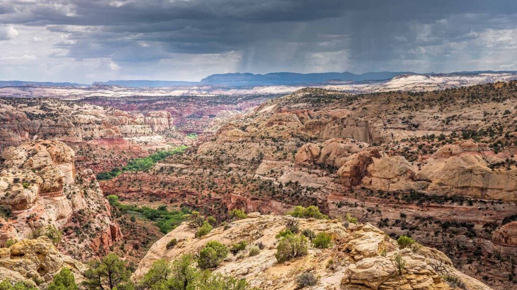
Highest E. Coli count – Hominy Creek Greenway 7500/100Ml. We don’t actually have a photo of this event, but the image at the top of this post is another ugly one from Hominy Creek Greenway coming in at over 1700.