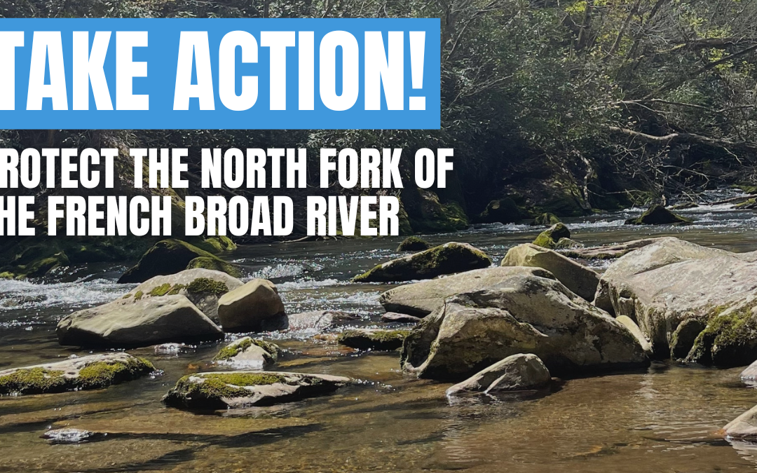
Encourage Clarity and Public Participation in GAP Restoration Project
Encourage Clarity and Public Participation in GAP Restoration Project
This action has expired
Encourage Clarity and Public Participation in GAP Restoration Project
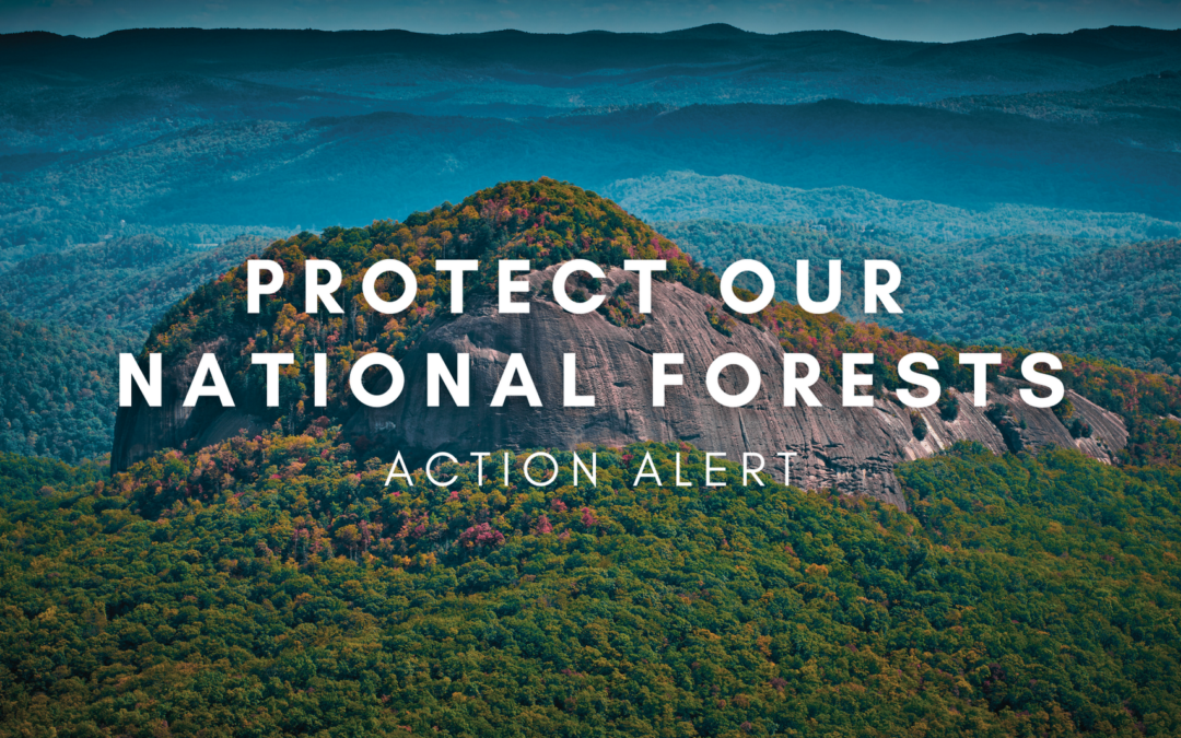
In July, the US Forest Service released a draft environmental assessment for the Grandfather, Appalachian, Pisgah (GAP) Restoration Project. The GAP Project aims to reduce wildfire risk, restore fire-adapted ecosystems, and improve forest health over the course of roughly a decade.
While these goals are commendable, the actions identified to achieve them lack specificity and could lead to inappropriate management of sensitive areas. This lack of site-specific information also obstructs public participation by limiting our ability to fully evaluate the project’s potential environmental impacts.
Comment Deadline: August 12, 2024
- Review the locations affected by the project here: GAP Restoration Project (arcgis.com)
- Review the project website here: Forest Service (usda.gov)
Our Concerns:
- Project duration is not clearly defined: Although the GAP Project is part of the 10-year Pisgah Restoration Initiative, there is no clearly stated project duration for GAP included in the draft environmental assessment. However, the GAP Project includes annual goals for management activities such as timber harvest, prescribed burning, and temporary road construction. Without a clear project duration, the environmental impact of these and other activities is difficult to estimate.
Recommendation: The Forest Service should state a duration for the GAP Project to help clarify its environmental impacts. - Locations for logging activities are not clearly defined: A lack of specificity around exact locations for various management activities like burning and harvesting also creates confusion. A stated goal of the GAP Project is to reduce wildfire risk. However, the project identifies logging as a potential management activity in cove forests – moist forests that are not fire-adapted and do not pose any significant wildfire risk. The GAP Project proposes over 10,000 acres of potential timber harvest in cove forests.
Recommendation: The Forest Service should identify cove forests in the project area and exclude them from logging activities. - Allowable management activities are poorly defined for areas with saw timber versus areas without saw timber: In the GAP Project proposal, the Forest Service fails to make a distinction between allowed management activities in areas with sawtimber and areas without sawtimber. Both areas over a total of 29,000 acres allow for temporary road construction, tree removal, and the same harvest methods. All of these activities have the potential to contribute to erosion and habitat disturbance.
Recommendation: Rather than relying on the presence of sawtimber in an area, the Forest Service should make a distinction based on whether or not trees will be removed from the site – this will help avoid future confusion over which management activities are allowed in a particular site. - Project proposes to log along the Appalachian Trail, backcountry, and in sensitive ecological areas: Unfortunately, the GAP Project proposes several controversial sites for commercial timber harvest, including 1500 acres along the Appalachian Trail, 1600 acres of backcountry, and areas with unique ecological values. Logging in these areas could damage these values through road construction and the presence of heavy machinery.
Recommendation: The Forest Service should amend the project so as to not allow commercial timber harvest or road construction along the Appalachian Trail, in Backcountry Management Areas, or in Special Interest Areas. - The proposal lacks specificity on what kind of management activities will happen and where: The GAP Restoration Project promotes wildfire risk reduction and habitat restoration but lacks clarity on site-specific management activities and timelines. The Forest Service seeks to approve the project before determining where roads will be built, what type of timber harvest will occur where, what the harvest methods will be, which areas will be burned, and before biological and archeological surveys have been completed.
Recommendation: The Forest Service should provide more information and complete more analysis before approving the GAP Project.
The GAP Restoration Project has the potential to greatly benefit the Pisgah and Nantahala National Forests, but it needs clear guidance for which activities happen where. Unfortunately, as currently proposed, the project could open up sensitive ecological areas, backcountry, and areas along the Appalachian Trail to commercial logging.
Submit your comments now, and urge the Forest Service to provide more information and complete more analysis before approving the GAP Project.