
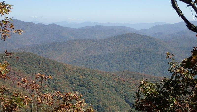
Hike to Tusquitee Bald via Short Branch
Western Regional Director, Callie Moore and husband, Philip will lead this full day, 7.2-mile (round-trip) moderate-to-strenuous hike on the Fires Creek Rim Trail to Tusquitee & Potrock Balds. Tusquitee Bald is the highest point in Clay County and lies within an inventoried roadless area that is eligible for wilderness. The hike will be limited to 12 participants; registration is required.
For avid mountain hikers, this is a moderate hike. For less frequent hikers or "flatlanders," the hike will feel more strenuous. The most strenuous part is the access trail to and from the Rim Trail which has an elevation change of 540' in 2,300 feet. The Rim Trail is much more moderate with gentler grades interspersed with fairly flat lengths. The trip will involve about 4 hours of actual hiking with one hour for lunch and relaxation on the balds.