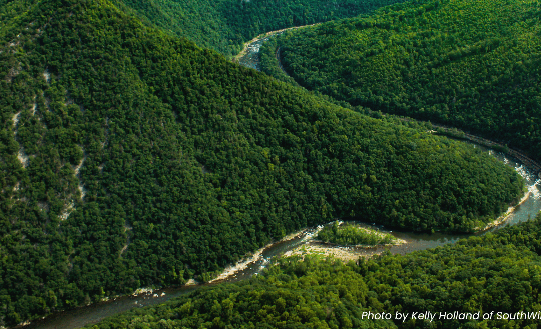
Bill and Liz Auman had owned their home on the French Broad River just upstream of Marshall for thirty-five years, and had lived there for the past twenty-five years. Their home had weathered storms and flooding — but never anything like the fury that Hurricane Helene unleashed on the region.
On the evening of Wednesday, September 25, Bill was alarmed at the information on the NOAA app — the French Broad River was due to crest at over 13 feet. The river had not risen that high since back-to-back hurricanes Frances and Ivan in 2004. Concerned, Bill and Liz made arrangements with a neighbor to stay in their guesthouse for a night or two until the flood waters subsided. They each packed a small overnight bag and told their neighbor they would walk up the next afternoon.

Bill Auman captured this photo (left) of his home on Thursday, September 26 before evacuating for the last time. On the right is what was left the next day. Photos courtesy of Bill Auman
On the early morning of Thursday, September 26 Bill awoke with a start. The river had risen much higher — and much more quickly — than predicted. Three feet of water was already covering their driveway, separating them from the main road and their escape route. Realizing that the time to evacuate was quickly evaporating, Liz grabbed her bag and Bill scooped up their dog Trouble. Battling the current, they waded out to the road.
Looking back at the house, Bill realized things might be worse than previously thought. He asked Liz to take their dog to the neighbors. He wanted to go back inside the house and retrieve a few more things.
Liz insisted he not return to the house. It was just too dangerous! But Bill could not be deterred, and he began the careful transverse of the driveway once again. Walking past treasured items that took their family a lifetime to collect, Bill decided to focus on the important and immediate needs. He grabbed the checkbook, insurance and financial documents and their passports. What he left behind in that moment would later break his heart — his 35 year old Chinese Elm Bonsai tree, his Lebron James-signed basketball, his class ring and most importantly a ring that his wife of 43 years had given him when they were dating.

Bill and Liz Auman were esctatic to be reunited with items found miles downstream from where their home once stood.
Wading once again across their driveway — the water now at his chest — he crossed the road and walked up the hill to his neighbors’ welcoming home. A glance at the NOAA app on his phone showed the crest was now predicted at 19 feet. Water would definitely be inside their home if that held true.
Early the morning of Friday, September 27 brought Hurricane Helene into the Western North Carolina mountains. After days of rain Helene dumped an additional 12 to 20 inches of rain on already saturated ground. Liz and Trouble walked down to check on their house. Water was not yet in the home and the Aumans began to feel hopeful. Maybe the worst was over.
By 10:30 that same morning it was obvious that the worst was just beginning. From the road, Bill and his neighbor watched the river batter the sides of their home. Fully surrounded by the raging waters, the house stood firm in the strong currents. Reassured that the home was still intact, Bill and his neighbor decided to make their way back up the mountain to safety — but at that moment a loud crack was heard — CRACK! Then another — CRACK! The house began to move, becoming completely unmoored as it began a horrifying journey down the French Broad River. Bill watched it disappear in utter disbelief.
The French Broad River would later crest at 27 feet, more than double initial projections and three feet higher than the previous high-water mark during the flood of 1916. Bill, Liz and Trouble stayed with friends for the next few months living out of suitcases, all while navigating the intricate challenges of FEMA and flood insurance. Their home was gone and with it much of their riverside property. What was left — mainly just sand and rocks, as all the trees had washed away — would not be suitable for rebuilding.

Bill Auman shows off a photo of his son’s Little League team as he and his wife Liz sort through photos found by the MountainTrue River cleanup crew.
They had raised their two children in that home, filling it with several lifetimes of memories. Both kids had been active in sports throughout their school years, and both Bill and Liz had volunteered as coaches for their children’s teams — especially softball and baseball. Memorabilia from those precious years had lined the hallway of their home. Framed photos hung on the wall and photos filled photo albums year after year. Helene took all of it.
Months later, during a MountainTrue river cleanup a few miles downstream of Marshall, I pulled a small wooden plaque from the French Broad River. The metal insert read: “Presented To: Liz Auman, Thanks For Your Dedication and Hard Work. East Asheville Youth League, 1997 Tigers”. It was placed in a box with other personal items that were recovered that day, including a slightly damaged vinyl album still in its sleeve, an army dress uniform jacket and a partial photo of a wide-eyed child.
Back at the Mothership, the MountainTrue debris removal headquarters, I pulled the small plaque out of a box. A quick internet search revealed a GoFundMe page that had been set up for Bill and Liz Auman following Helene. I discovered that Bill is an attorney in Asheville and I also found an email address on his website. With fingers crossed I sent Bill an email explaining who I was and also why I was reaching out to him. I described the plaque and where it was found in the river.
“Wow! That is only the third item found from our house, which was totally destroyed. We would love to have it back!” he exclaimed via email.
A couple of weeks later Bill, Liz and Trouble came to visit us at the Mothership in Weaverville.
When Liz was handed her softball appreciation plaque she was visibly thrilled! All that had been found ten months after their family home had washed away was Bill’s NC State jacket and a photo from their son’s wedding. The plaque brought all the memories of Liz’s time as coach for her daughter’s youth softball league. She loved those memories, and this plaque gave her the opportunity to relive those special moments.

A mountain of memories from her coaching years came back to Liz Auman when she saw the plaque MountainTrue River cleanup crews found in the French Broad River after Hurricane Helene. Photo by Mandy Wallace
As Bill, Liz and Trouble recounted their lives to me, we looked through a bin of photos also collected in the Marshall area following Helene. Bill spotted another familiar photo of his son’s youth Little League team from 30 years ago! Bill had coached the team that year — his son’s first baseball team the East Asheville Orioles.
Moments later, Liz pulled another photo from the stack, staring quietly. Bill looked over her shoulder. “That’s your Grandmother! That’s a photo of your Grandmother!” he exclaimed. Liz just gazed in disbelief.
How certain items survived and where they ended up is only something that Helene can answer. The softball plaque had hung in the hallway of their home and the photos were in separate photo albums stored in a cabinet in the bedroom. The plaque had floated through downtown Marshall, over two dams, nearly seven river miles downstream of their former home. The photos had each traveled close to five miles away and had landed in different locations. This brought the total number of found Auman family mementos total up to five.
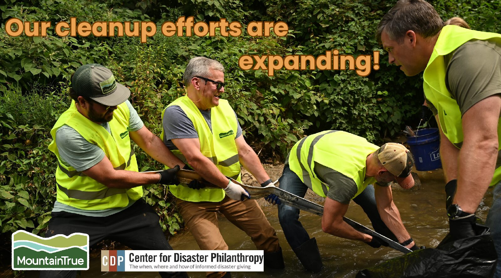
Bill and Liz are slowly putting the pieces back together following the storm. Liz has been a solid source of comfort and optimism. They are grateful to have each other and thankful for the 173 friends that have helped them through, according to their count. Thankful for the opportunity to reunite people with their precious memories, Bill and Liz will join us at our celebration event MountainTrue: Stronger Than the Storm on October 2. We hope you’ll join us in celebrating little moments of hope and connection that these reunion stories signify.
— Mandy Wallace, MountainTrue Artifact Recovery Technician