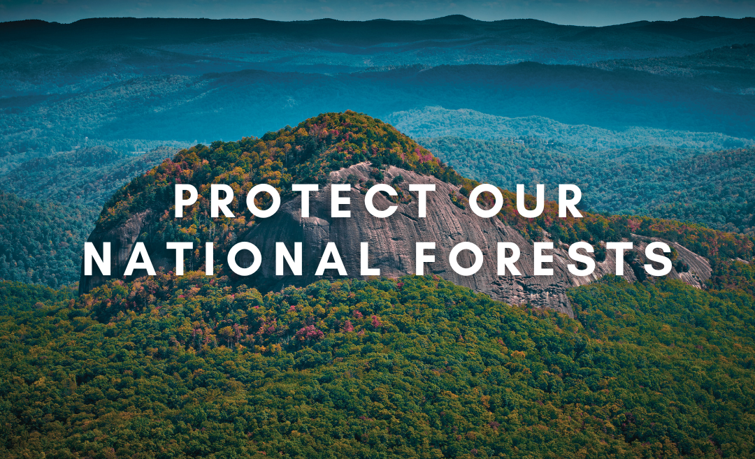
Breaking: MountainTrue joins climate lawsuit on Forest Service logging practices
Breaking: MountainTrue joins climate lawsuit on Forest Service logging practices
Dear MountainTrue Members and Supporters,
As advocates for our environment, we find ourselves at a pivotal moment in our fight against climate change. Last year, the Earth endured its hottest year, shattering previous records and exacerbating climate-related challenges such as droughts, loss of biodiversity, extreme weather events, and heat-related fatalities. The urgency to act has never been greater.
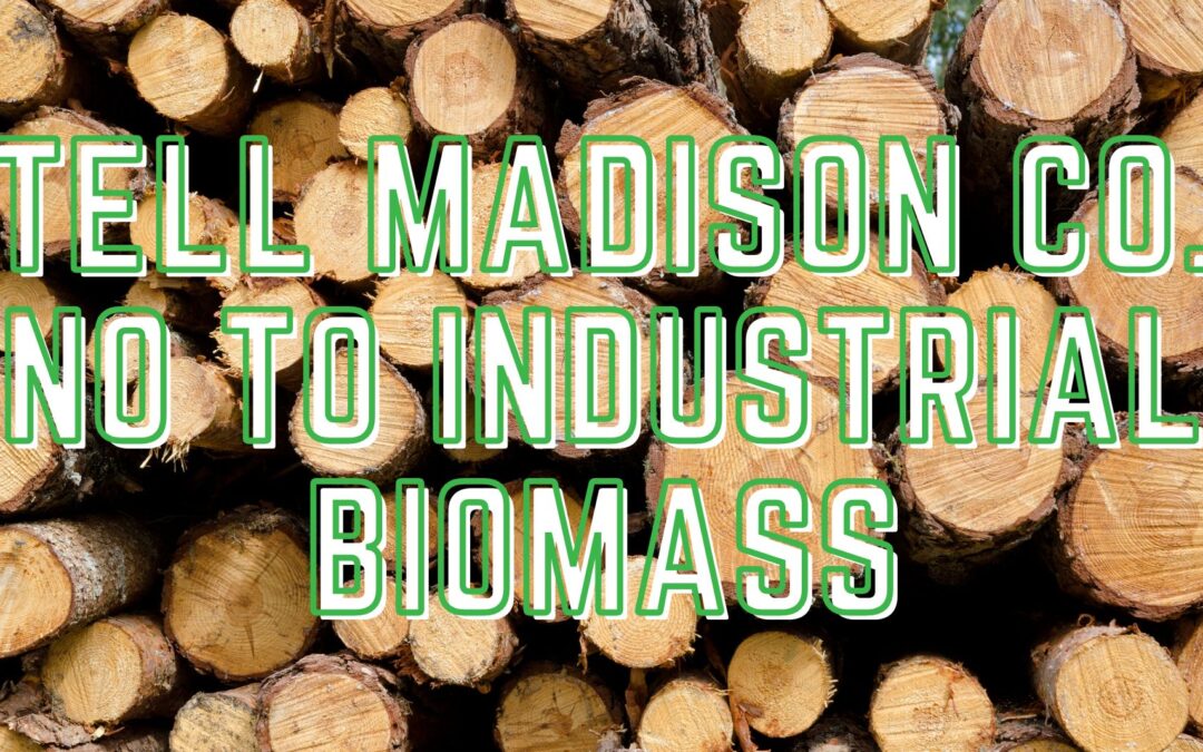
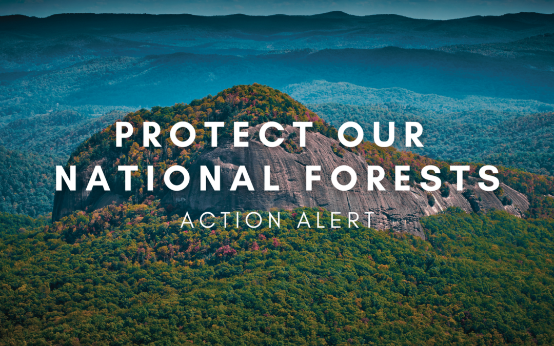
Amidst this escalating crisis, the US Forest Service’s outdated approach to forest management is perplexing. Despite clear evidence of our worsening climate reality, the Forest Service has increased the volume of timber harvested from our national forests to levels unseen in recent decades. This practice contradicts the urgent need to mitigate climate change and the Forest Service’s own policies and goals while posing a direct threat to the ecosystems within our Eastern forests, which have been disproportionately targeted for timber extraction.
This is why MountainTrue has taken the significant step of joining the Southern Environmental Law Center and the Chattooga Conservancy in filing a lawsuit challenging the Forest Service’s annual timber targets. Our legal action challenges the way the Department of Agriculture and the Forest Service set their timber targets and how the agency analyzes the cumulative carbon impacts of the timber projects it designs to fulfill these targets. It also seeks to halt further timber sales in the Southeast that contribute to the 2024 target (except where necessary for wildfire risk mitigation) until the Forest Service complies with the National Environmental Policy Act.
Read our court filing.
Read the press release.
Our members and supporters power our Resilient Forests program. Donate today to protect our forests as a critical part of our climate solution.
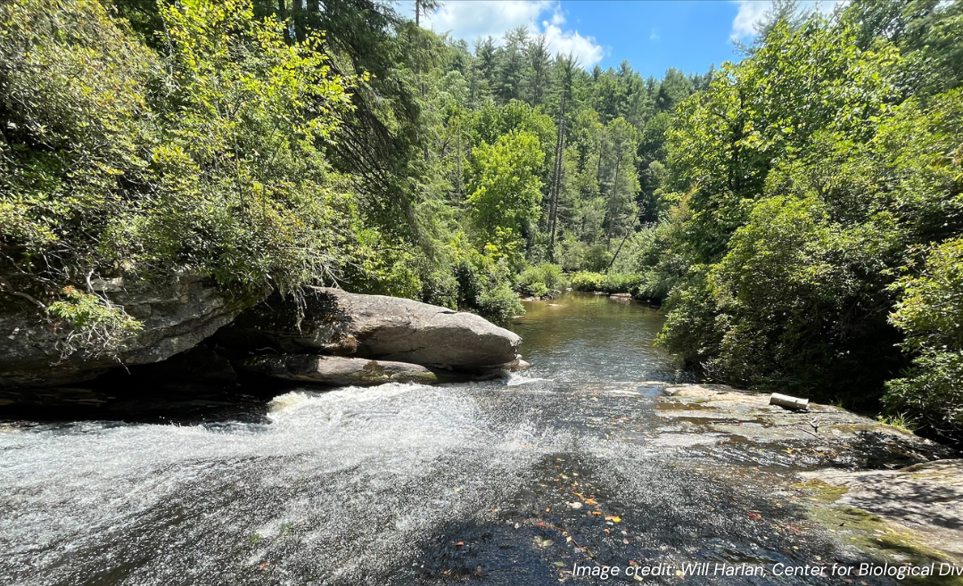
Our forests are invaluable resources in the fight against climate change, sequestering billions of tons of carbon and actively converting CO2 into oxygen. However, the Forest Service’s single-minded pursuit of timber targets undermines these natural processes, releasing significant amounts of carbon into the atmosphere and setting back our collective efforts to combat global warming. Additionally, chasing the national timber target creates impacts on water quality, recreation, and imperiled wildlife, while distracting the Forest Service from more pressing tasks like preventing wildfire, saving trees from invasive pests, and controlling invasive plant species.
This lawsuit is not an attempt to end logging in our national forests. Instead, it aims to challenge the outdated methods that prioritize crude volume targets over the health of our forests and the planet. By holding the Forest Service accountable, MountainTrue is also supporting the broader objectives of the Biden administration’s climate policies and efforts to protect our nation’s old-growth and mature forests.
We stand at a critical juncture, and this lawsuit represents a bold step forward in our mission to preserve our planet for future generations. Your continued support and engagement are vital as we navigate this challenge. Together, we can ensure that our forests are managed sustainably and in harmony with our climate goals.
Thank you for standing with us in this crucial fight.
With determination,
Gray Jernigan
Deputy Director & General Counsel